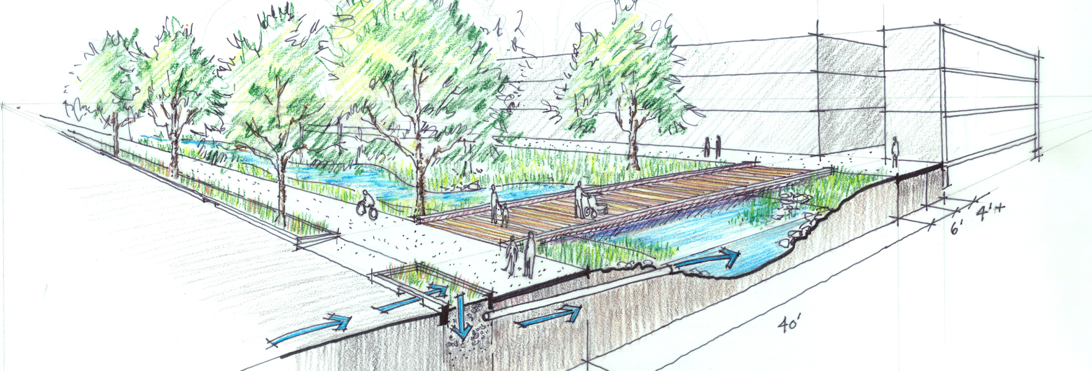
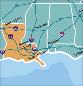
Churchill Park is situated in the center of Jefferson Parish in Avondale, just 12 miles from Louis Armstrong International Airport, and just 20 minutes from downtown New Orleans.
Our proximity to the Gulf of Mexico, the Mississippi River, major rail lines and interstates offers a strategic advantage to companies moving products, services and ideas into the global economy.
Churchill Park is at the hub of the largest intermodal transportation infrastructure in the South:
The following major roads provide excellent accessibility into and out of Jefferson Parish:
- Interstate 10
- U.S. Highway 90
- U.S. Highway 61 (Airline Drive)
- Louisiana Highway 18 (River Road)
- Louisiana Highway 23
- Louisiana Highway 45
Churchill Park is near the Huey P. Long Bridge, which connects the east and west banks of Jefferson Parish. The bridge has been renovated to widen travel lanes and outside shoulders.
Jefferson Parish is serviced by several major motor freight carriers including, but not limited to, the following:
- SAIA
- FedEx
- UPS
- Roadway
- Southeastern
- DHL
Louis Armstrong New Orleans International Airport
- Domestic and International passenger airlines
- Host to 15 airlines and 53 nonstop destinations
- 159 flights daily to 53 destination cities
- Opening of a new $1 billion terminal approaching in May 2019
Source: Louis Armstrong New Orleans International Airport, December 2018
Jefferson Port District
JEDCO is responsible for the economic development of all navigable waterways in Jefferson Parish not exceeding 15 feet in depth (excluding Grand Isle)
- Lake Pontchartrain
- Harvey Canal
- Located on the West Bank in Harvey immediately upriver from the Port of New Orleans
- Shallow water access via four routes to the Mississippi River and Gulf of Mexico
- Fronts 2,000 acres of waterfront property
- An important location for many of the region’s oil field services
- Bayou Segnette
- Funding has been secured for the construction of $1 million commercial and recreation harbor at the northern terminus of Bayou Segnette
- Bayou Barataria
Port of New Orleans
- Located within 10 miles east of Jefferson Parish on the Mississippi River
- Diverse general cargo port
- Proximity to the American Midwest via a 14,500 mile inland waterway system
- Served by six Class I railroads, 50 ocean carriers, 16 barge lines, and 75 truck lines
- Foreign Trade Zone
- Facility includes 22 million square feet of cargo handling area and more than 6 million square feet of covered storage area
- More than 6,000 ocean vessels move through New Orleans each year
- Cruise terminal serving three international cruise lines (Carnival, Norwegian and Royal Caribbean) with destinations to the western Caribbean, and two national lines (Majestic America and River Barge Excursions) with destinations throughout the Mississippi and Ohio River systems
St. Bernard Port, Harbor & Terminal District
- Located 12 miles east of downtown New Orleans
- Spans a 2.5-mile stretch along the Mississippi River
- Diverse general cargo port
- Deep water draft access
- Rail service provided by Norfolk Southern Railroad with connections provided to six Class I railroads
- Two intermodal business parks with warehouse, office and manufacturing space
Port of South Louisiana
- Stretches 54 miles along the Mississippi River, immediately west of Jefferson Parish
- Comprised of facilities in St. Charles, St. James and St. John the Baptist parishes
- Largest tonnage port district in the western hemisphere, ranks 4th in the world
- Contains a 335-acre maritime industrial park that provides handling and storage for bulk, break bulk and containerized cargoes
- Deep draft bulk terminal primarily handles cement, mineral ores and woodchips
- Served by Canadian National and Kansas City Southern Railroads and major trucking and freight companies
- Foreign Trade Zone
Plaquemines Port
- Located approximately 20 miles south of New Orleans at the mouth of the Mississippi River
- 100 miles of deep draft (45 ft. minimum)
- 14 major anchorages